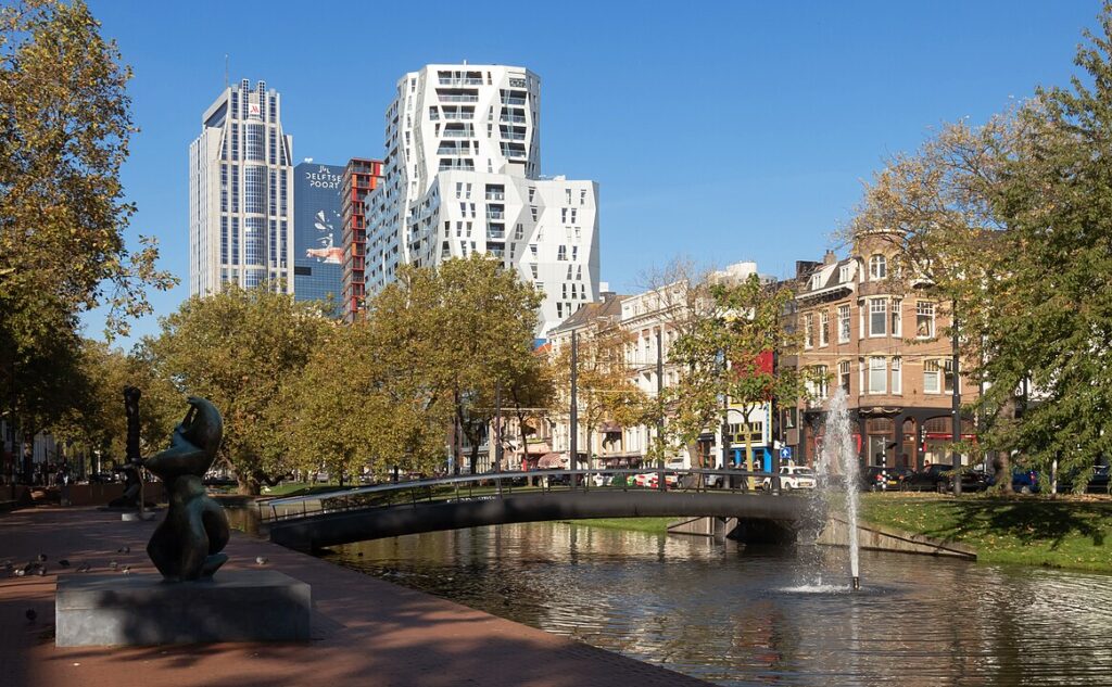
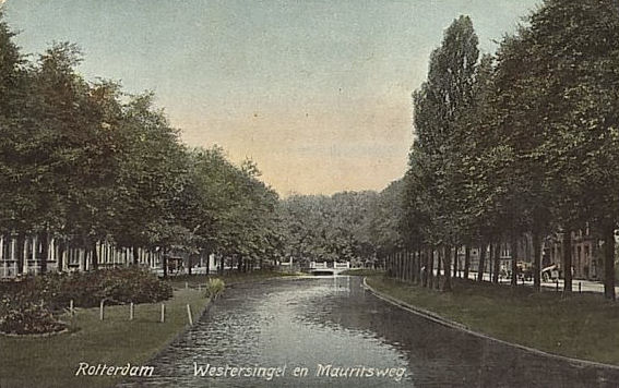
The Westersingel is part of the Water Project from the 19th century to provide the city of Rotterdam with clean surface water. At that time Rotterdam’s canals had the function to drain the rainwater, the domestic wastewater and at the same time were used for washing etc. You can imagine how this caused pollution and unhealthy situations. Through the new singles – waterways flanked by wide green zones – water was let in from the Maas, flowing through the city towards the lower polders. The orange line on the left of the image, a map from 1854, represents the Westersingel. You can see the old polder structure as well. The canals were designed by the landscape architects Jan David Zocher and Louis Paul Zocher, and formed an attractive living environment for the upper class, as can be seen by the respectable houses along the singel.
In a green patch in the middle of the Westersingel a Platanus acerifolia Hispanica is situated, a monumental tree. This solitary tree dates back to the construction of the Westersingel around 1860, and survived both the war and the later reconstruction of the canal profile. The tree is now protected, and has a symbolic meaning for the people living in Rotterdam.
Brain Teaser
The sides of the canal have different edges: one is soft and the other is paved. What effect does this have on the way the spaces are used by people as well as animals?
Sources
Vocke, W. (2019, February 12). Goed nieuws: de mooiste boom van Rotterdam kan nog jáááren mee – indebuurt Rotterdam. Indebuurt Rotterdam. https://indebuurt.nl/rotterdam/nieuws/opmerkelijk/breitenbach-plataan~81774/
Van Helleman, J. (2021, January 15). Waterproject – Singels – Nieuwbouw Architectuur Rotterdam. Nieuwbouw Architectuur Rotterdam. https://nieuws.top010.nl/waterproject-singels.htm